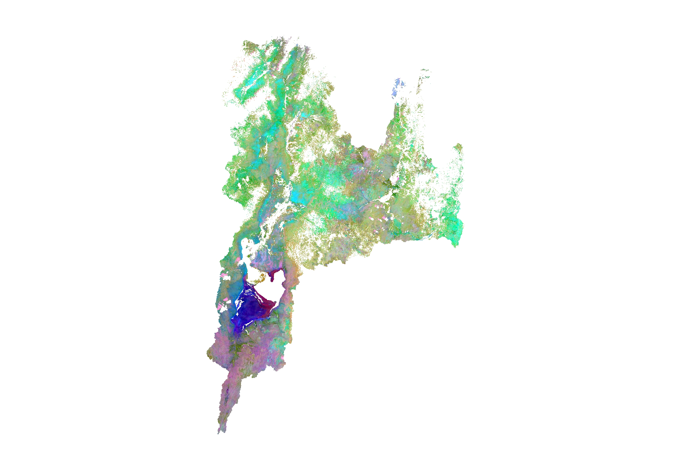
Can you see it? As I showed it a colleague, she trief to figure out her first emotional analogies to this picture, as it would be a depth psychology test or so. However, beside the beautiful colours molding the blank page it is also deep science. Taking satellite images is the first step in gaining information of the world. We can see here the catchment of the lake Chew Bahir in Ethiopia with its multispectral and transformed colour data. Clounds and Vegetation got clipped through thresholding and the remaining bare soil spectral information got tranformed using a Principal Component Analysis. This step emphasize the major information or variability of a multi-spectral-reality into the first three colour, so we can visualise and interpretate as a human beeing with habit of a three-coloured-world.


Hi, this is a comment.
To get started with moderating, editing, and deleting comments, please visit the Comments screen in the dashboard.
Commenter avatars come from Gravatar.