Pseudotsuga menziesii
Douglas Fir


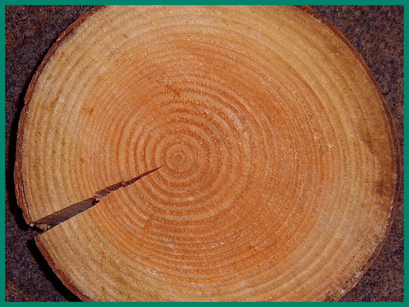
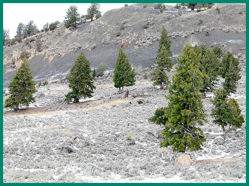
The Douglas fir is an evergreen conifer and one of the dominant tree species in many North American forests. It can reach heights of up to 70-100 metres, making it one of the tallest tree species in the world. The Douglas fir has a conical shape with a straight trunk and strong horizontal branches. The bark is thick, rough and deeply grooved. The needles are soft, flat, dark green and arranged in a spiral. The cones are pendulous, elongated and have three pointed prongs at the ends of the scales. The Douglas fir has been introduced in many parts of the world, including Europe, South America and New Zealand. In some areas, such as Central Europe, it is grown extensively because of its high wood quality and growth rate. There it is classified as potentially invasive, as it can spread into natural forests and suppress native species.
Types of damage

Ecological damage
Region of origin
North America

Introduction vectors

Forestry
Douglas fir has been planted for forestry purposes in some regions and is the most important non-native forest tree species in Germany with 218,000 hectares in the main stand.
Current distribution
Based on the FlorKart Database of the Federal Agency for Nature Conservation, as of 2013

Miscellaneous
Family

Climate change

Positive effects
Dispersion forecast
Indicates the proportion of land suitable for habitat under current and future climate conditions (2060-2080) under three emission scenarios (RCP26, RCP45 & RCP85).

Habitat suitability under current climate conditions
These habitat suitability maps show for Pseudotsuga menziesii where suitable habitat conditions exist.
The map on the left shows this for current climate conditions. Below this are maps for the time classes 2040-2060 and 2061-2080, in which three different emission scenarios can be selected.
The slider at the top left allows you to adjust the opacity of the map to make orientation easier.
By clicking on the respective quadrant, information on the environmental conditions present in it can be called up.
The methodology is explained here .