IPS Monitor - Fact Sheets and Habitat Suitability Maps for Invasive Plant Species
Welcome to IPS Monitor, the monitoring tool for the spread of invasive plant species (IPS) in Germany.
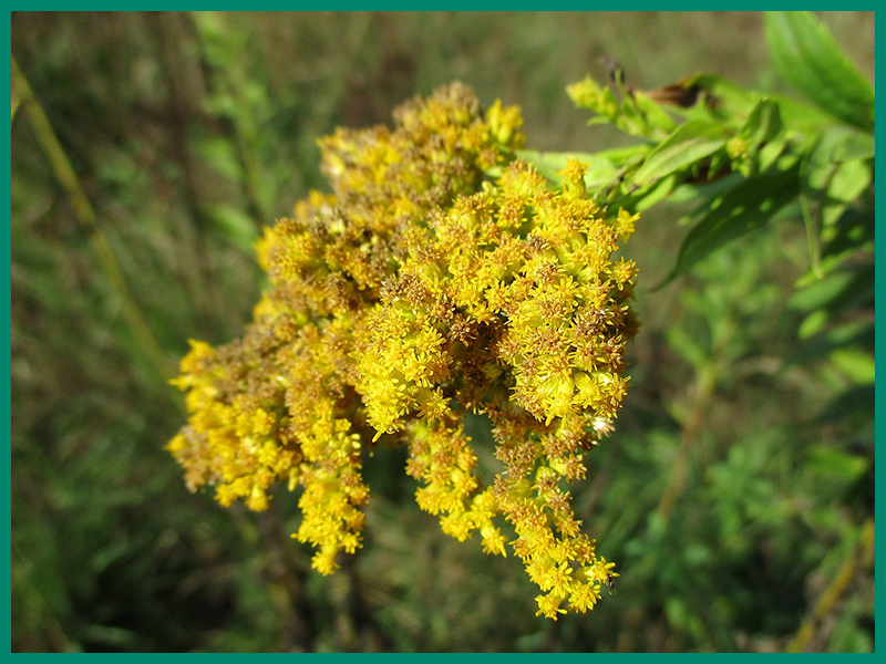
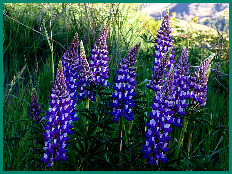
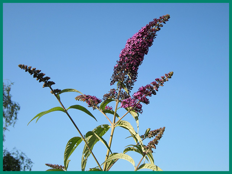
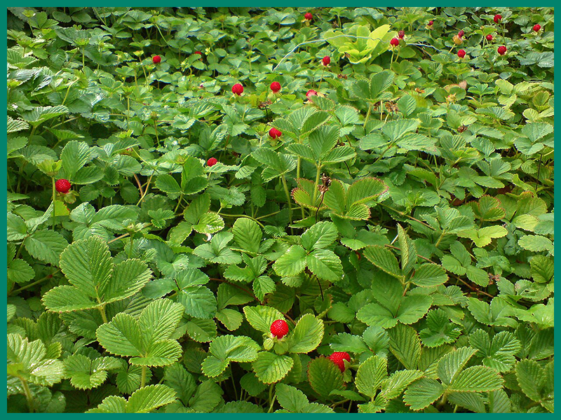
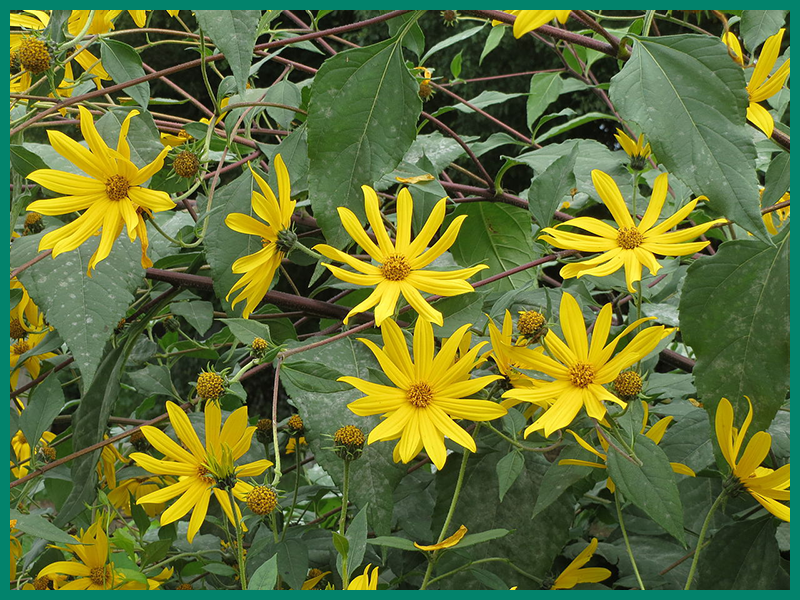
On this website you will find a fact sheet for 46 invasive or potentially invasive plant species as well as digital maps showing the current and future habitat suitability in Germany for these species.
Apart from photos and descriptions of the respective species, the fact sheets contain information on the forms of damage, the region of origin, the import vectors as well as the current and predicted distribution.

In Germany, a number of at least 80 alien plant species are considered to be significant or potential threats to biodiversity, raising concerns about appropriate measures against their spread. In the case of widespread invasive plant species, appropriate control measures are only considered effective locally, for example when species or habitats worthy of special protection are directly threatened by the negative impact of an invasive species. Monitoring measures (surveillance of spread) therefore play a crucial role in preventing the spread of invasive plants with the aim of detecting unintentional introductions as quickly as possible so that appropriate control measures can be taken at an early stage.
At the bottom of each fact sheet are three habitat suitability maps - for present climate conditions as well as two time classes, 2040-2060 and 2061-2080. These show which areas of Germany provide suitable habitats for each species under present and predicted climate conditions. The following graphic shows how the maps can be used:

The programme is funded by the German Federal Environmental Foundation (DBU) under the grant number 20018/580. Further information can also be found on the Methods-Seite.